 Additional Chief Secretary (Revenue) K.K. Pant today released the Geodetic Assets Register and Geodetic Map of Himachal Pradesh, presented by Gaurav Kumar Singh, Director of the Geospatial Directorate for Punjab, Haryana, Himachal Pradesh, and Chandigarh.
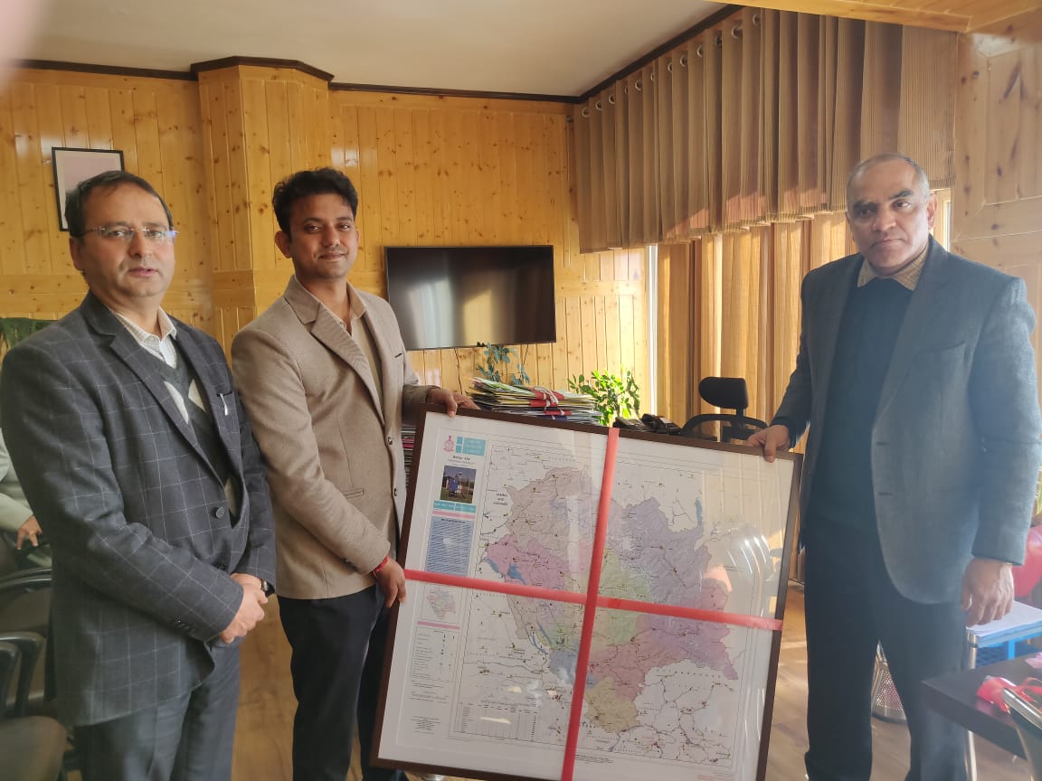
The register categorizes the State’s geodetic infrastructure into six sections, including Continuous Operating Reference Stations (CORS), Great Trigonometric Survey Stations, Ground Control Points, Magnetic Reference Stations, Gravity Reference Stations, and Leveling Benchmarks.
Pant stated that the Geodetic Assets Map provides detailed information about the State’s assets and will be instrumental in planning disaster mitigation measures, given Himachal Pradesh’s disaster-prone geography. He emphasized that the register will also support the development of eco-friendly and scientifically planned infrastructure and serve as a milestone in research and planning in the State.
Highlighting the Revenue Department’s use of modern technology, he added that village and land maps are being uploaded on the Bhu-naksha portal, which is also being utilized in the Bhu-naksha and Swamitva projects for better transparency and service delivery.
Special Secretary (Revenue) D.C. Rana and other senior officials were present on the occasion.


Nurturing Creativity – Keekli Charitable Trust, Shimla